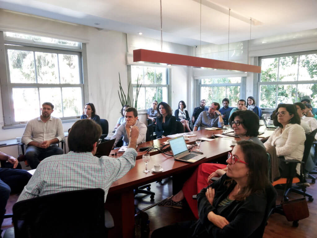
MapBiomas workshop in CPI in Rio de Janeiro
Project aims at helping researchers with a fast and detailed system
Climate Policy Initiative (CPI) hosted the Brazilian Annual Land Use and Land Cover Mapping Project (MapBiomas) team for a workshop to present the platform and explain how it operates. The event, held in early August at CPI’s office in Rio de Janeiro, gathered researchers, analysts and university faculty from CPI and other institutions including IBGE, FIOCRUZ, BVRio, and UFRJ.
MapBiomas is an initiative that involves a collaborative network of biomes, land use, remote sensing, GIS (Geographic Information System) and computer science experts. It relies on Google Earth Engine platform and its cloud processing and automated classifiers capabilities to map and present dynamics of land use changes in agriculture, farming, forests and urban areas, among others.
In Brazil, CPI works to support policymakers to implement the most effective policies for protecting Brazil’s natural resources while also advancing the nation’s agricultural production.
For CPI executive director Juliano Assunção, MapBiomas greatly expands the volume of information for land use analysis in Brazil and provides an example for other initiatives involving collaborative work. Assunção believes that the project enhance CPI’s research. “CPI focuses its efforts on generating evidence on the effectiveness of policies and their various impacts on Brazilian society. With MapBiomas, we can now investigate dynamics of land use conversion inside and outside the Amazon biome with much more precision,” he says.
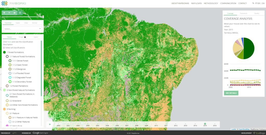
Land use and land cover maps, satellite images mosaics, and a public web platform are among the MapBiomas products. According to the coordinator of the project Tasso Azevedo, the platform aims to provide analysts and researchers with the tools needed to analyze data and build on. “We wanted to replace the simple matrix “forest and non-forest” with a more nuanced one. The challenge is and has always been to map in a cheap, fast and historical way”, he says. One of the unique characteristics of MapBiomas is that it classifies using temporal and spatial filters, which can be applied to a more detailed analysis.
MapBiomas provides a series of scientific analyses for the improvement of policies. According to Assunção, besides putting together detailed information on territories, MapBiomas presents the data in an intuitive and comprehensible way. “Although the actual data are not precise for calculating deforestation rates, for example, its potential is huge. For example, important topics such as infrastructure can be studied in depth,” the CPI director says.
Currently, only Brazil develops a mapping of tropical countries and their lands. Nevertheless, it is expected that over the next two years a project like MapBiomas might become a potential investment for other countries. The development of MapBiomas is constant and an updated version, with adjustments in the filters, will be launched soon.
For more information about MapBiomas, see http://mapbiomas.org/.
